Introduction to Marine Dredging Support
Marine dredging is a fundamental activity for maintaining navigational depths in ports, creating channels, and supporting coastal engineering projects. In the challenging conditions of the Baltic Sea, successful dredging requires precise planning, accurate pre-dredge and post-dredge surveys, and continuous underwater monitoring. Without reliable data, projects often suffer from over-dredging, material miscalculation, and unexpected delays.
Since 2006, Dronelab has provided technical support for marine operations in Latvian ports and regional waters. Combining hydrography, Remotely Operated Vehicles (ROVs), and Unmanned Surface Vehicles (USVs), engineering teams can assess seabed conditions, locate obstacles, and verify project clearance efficiently.
The Role of Hydrography Before and After Dredging
Hydrographic surveys form the backbone of any dredging operation. Before a single cubic meter of sediment is removed, bathymetric mapping establishes the baseline topography of the seabed. This data allows engineers to calculate sediment volume accurately and plan the most efficient extraction routes.
- Singlebeam and multibeam sonar mapping for high-resolution depth data.
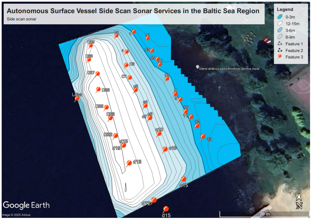
- Side-scan sonar deployment to detect hidden debris, boulders, and sunken objects.
- Post-dredge verification surveys to ensure contractual depth requirements are fully met.
Precise positioning systems, including RTK-GNSS, ensure that all collected spatial data aligns with national coordinate frameworks. This accuracy prevents costly rework and provides port authorities with verifiable compliance documentation.
ROV and Diver Intervention During Complex Operations
While sonar systems provide a macro-level overview, localized underwater inspections often require visual confirmation. Remotely operated vehicles equipped with high-definition cameras and thickness gauges inspect submerged infrastructure such as quay walls, pipelines, and outfalls located near dredging zones.
Key inspection tasks include:
- Pre-construction condition assessment of existing marine structures.
- Monitoring cutter-suction or grab dredge performance in low-visibility environments.
- Post-dredging inspection of scour protection layers and riprap stability.
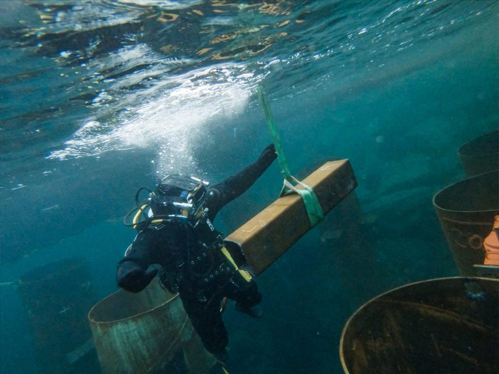
In situations where structural intervention is necessary, commercial diving teams execute specialized tasks that mechanical equipment cannot perform. This includes clearing debris from suction heads, cutting entangled cables, and performing underwater welding or bolting on submerged assets.
Navigating Baltic Sea Environmental Challenges
Dredging operations in the Baltic Sea are subject to strict environmental regulations regarding turbidity, sediment dispersion, and waste disposal. Hydrographic and oceanographic sensors monitor water quality parameters in real-time, helping operators mitigate ecological impact.
Furthermore, historical ordnance and anthropogenic debris remain a persistent hazard in regional waters. Magnetometer surveys and targeted ROV reconnaissance prior to dredging minimize the risk of striking unexploded ordnance or damaging critical subsea utilities.
Conclusion
Integrating hydrographic surveying, USV bathymetry, and underwater inspection tools transforms standard dredging from a high-risk excavation task into a controlled, data-driven engineering process. Maintaining rigorous quality control standards ensures the long-term reliability of maritime infrastructure across the Baltic region.