
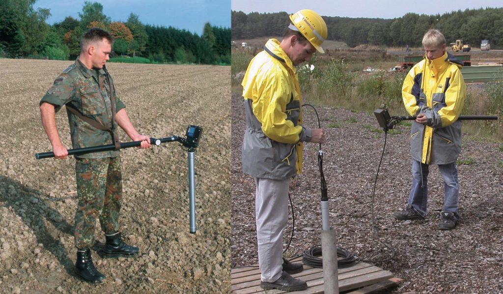
Introduction: Geoelectrical investigations, also known as electrical resistivity imaging or geoelectrical imaging, is a non-invasive technique used to understand the subsurface structure and properties of the ground and water. This method utilizes the electrical conductivity of the subsurface materials to create an image that shows the distribution of these materials. Geoelectrical investigations are widely used in the fields of geology, hydrogeology, environmental science, and civil engineering, among others.
Middle: Geoelectrical investigations are carried out by passing an electrical current through the subsurface materials using a pair of electrodes. The voltage is then measured at different points to determine the resistance of the subsurface materials. The data is collected and processed using specialized software to create a 2D or 3D image of the subsurface.
Geoelectrical investigations can provide valuable information about the subsurface structures and properties of the ground and water. This includes the distribution of rock types, the location of geological faults, the presence of groundwater, and the properties of aquifers. In addition, geoelectrical investigations can help to identify areas of potential environmental contamination, such as landfills or underground storage tanks.
One of the major advantages of geoelectrical investigations is that they are non-invasive and do not require drilling or excavation. This means that the method is less disruptive to the environment and can be carried out in sensitive areas such as wetlands or protected habitats. Geoelectrical investigations can also be carried out quickly and efficiently, making them a cost-effective option for many projects.
However, geoelectrical investigations do have some limitations. The accuracy of the results can be affected by factors such as the presence of metallic objects in the subsurface or variations in the soil moisture content. In addition, the depth of investigation is limited by the electrical resistivity of the subsurface materials, which can vary depending on factors such as temperature and salinity.
Conclusion: Geoelectrical investigations are a vital tool in understanding the subsurface structures and properties of the ground and water. This non-invasive technique can provide valuable information about the distribution of rock types, the location of geological faults, the presence of groundwater, and the properties of aquifers. Geoelectrical investigations are widely used in the fields of geology, hydrogeology, environmental science, and civil engineering, among others, and can help to identify areas of potential environmental contamination. While geoelectrical investigations have some limitations, they are generally a cost-effective and efficient option for many projects.
References:
- Haeni, F.P., and J.R. Giardino. “Geoelectrical Investigations in Environmental and Engineering Studies.” Environmental Geology, vol. 8, no. 2, 1985, pp. 87-97.
- Minsley, B.J., et al. “Electrical Resistivity Imaging Surveys of Contaminated Sites.” Journal of Applied Geophysics, vol. 45, no. 4, 2001, pp. 259-279.
- Slater, L.D., et al. “Electrical Imaging of the Subsurface Using the Mise-a-la-Masse Technique.” Geophysics, vol. 70, no. 6, 2005, pp. K1-K9.