Introduction
SIA “Dronelab” is a company offering a wide range of drone technology services, including hydrographic surveys. The company’s hydrographers conduct detailed depth measurements of water bodies using modern equipment that ensures accurate and reliable results.
Data Acquisition
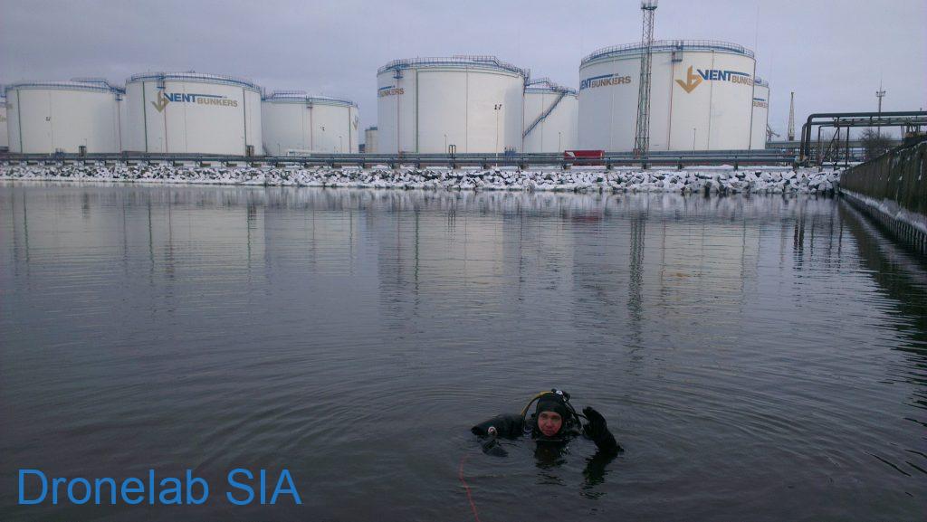
Depth measurements are carried out using a motorboat equipped with a Side-Scan Sonar and a Single-Beam Echo Sounder. The Side-Scan Sonar scans the underwater terrain laterally, creating a detailed image of the bottom below the water surface. The Single-Beam Echo Sounder determines the distance from the boat’s bottom to the waterbody’s bottom, providing precise depth measurements at each point.
Data Processing
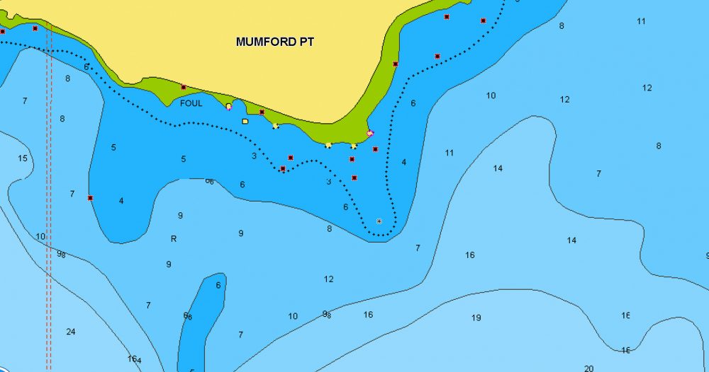
The collected data is processed using specialized software to create detailed depth charts and 3D models. These charts and models can be used for various purposes, including:
- Improving navigational safety
- Design and construction of hydraulic structures
- Exploration of natural resources
- Environmental monitoring
Advantages
SIA “Dronelab” offers several advantages with their hydrographic services:
- Accuracy: Modern equipment ensures precise and reliable depth measurements.
- Detail: Side-Scan Sonar allows obtaining detailed information about the underwater terrain relief.
- Efficiency: Measurements are conducted quickly and efficiently using a motorboat.
- Affordability: The company offers competitive prices and flexible service solutions.
Conclusion
SIA “Dronelab” hydrographic services are ideal for clients who require accurate and detailed information about the depth and relief of water bodies. The company’s experienced specialists will ensure high-quality service delivery and help find the optimal solution for each client’s needs.