
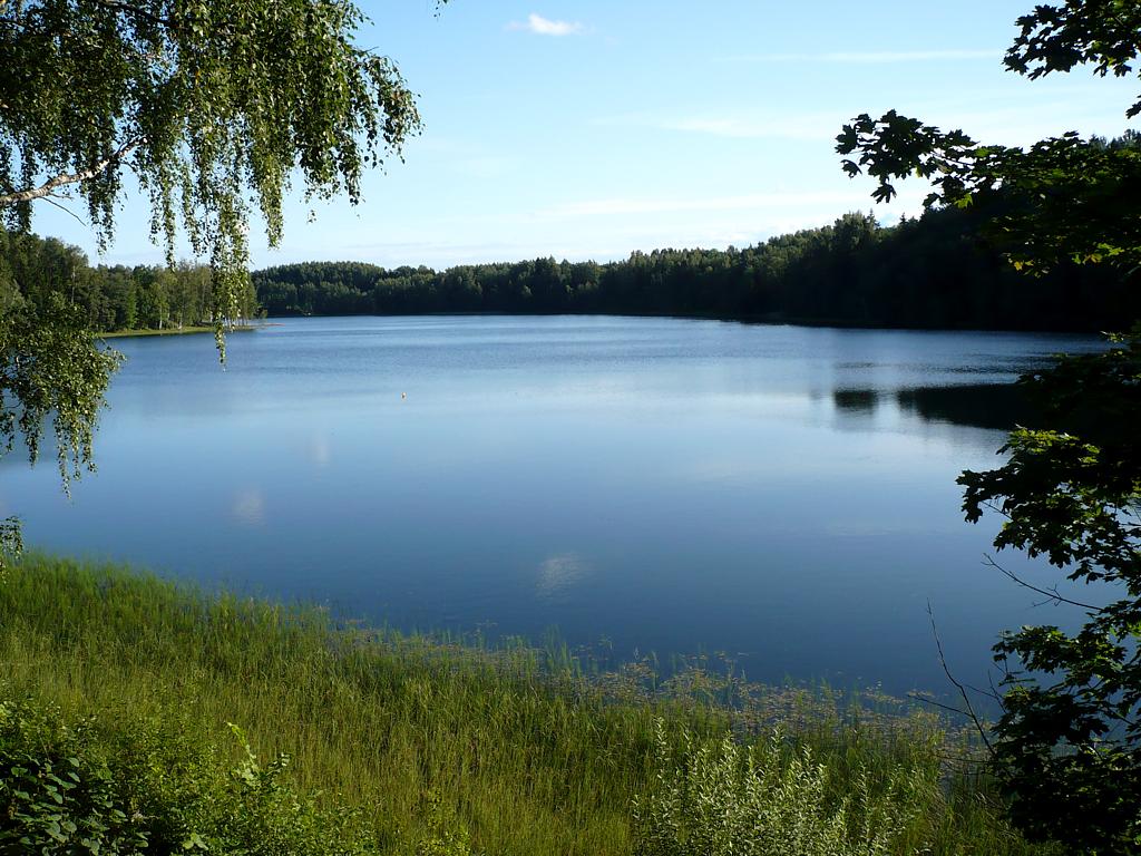
Lake and river prospecting is a method used to explore and identify mineral deposits in aquatic systems. This method is based on the principles of geophysical surveying and is used to determine the location and extent of mineral deposits in lake and river beds. Lake and river prospecting can provide valuable information about the mineral resources present in a given area and can be used to guide future exploration and development efforts.
Lake and river prospecting is carried out using specialized equipment that is designed to detect and measure the electromagnetic and acoustic properties of the lake or river bed. This equipment includes instruments such as sonars, magnetometers, and conductivity meters, which are used to generate data about the physical properties of the subsurface materials.
The data collected during lake and river prospecting is used to create detailed maps of the subsurface mineral deposits. These maps can be used to identify areas of high mineral concentration and can be used to guide further exploration and development efforts. In addition, lake and river prospecting can provide valuable information about the structure and properties of the lake or river bed, which can be used to guide environmental management and conservation efforts.
Lake and river prospecting has a number of advantages over other exploration methods. One of the key advantages is that it is non-invasive and does not require drilling or excavation. This means that the method is less disruptive to the environment and can be carried out in sensitive areas such as wetlands or protected habitats. In addition, lake and river prospecting can be carried out quickly and efficiently, making it a cost-effective option for many projects.
However, lake and river prospecting does have some limitations. The accuracy of the results can be affected by factors such as the presence of metallic objects in the subsurface or variations in the water temperature and salinity. In addition, the depth of investigation is limited by the physical properties of the lake or river bed, which can vary depending on factors such as sedimentation and erosion.
Lake and river prospecting is a powerful tool for understanding aquatic systems and identifying mineral deposits. This non-invasive method can provide valuable information about the mineral resources present in a given area and can be used to guide future exploration and development efforts. Lake and river prospecting is widely used in the fields of geology, mining, and environmental science, among others, and can help to identify areas of potential environmental contamination. While lake and river prospecting has some limitations, it is generally a cost-effective and efficient option for many projects.
References:
- Roach, C.H. “Exploration Geophysics: Applications to the Assessment and Environmental Impact of Mineral Deposits.” Journal of Geochemical Exploration, vol. 89, no. 1-3, 2006, pp. 3-9.
- Bajic, B. and S. Todorovic. “Exploration of Mineral Deposits in Water Basins.” Journal of Mining and Metallurgy B: Metallurgy, vol. 51, no. 1, 2015, pp. 1-10.
- Mills, K. “A Review of Geophysical Techniques for Mineral Exploration.” Surveys in Geophysics, vol. 33, no. 1, 2012, pp. 33-62.