Underwater Archaeological Site Survey with ROV and USV
Discover and document submerged history with our specialized Underwater Archaeological Site Survey services, utilizing a powerful combination of Remotely Operated Vehicles (ROV) and Unmanned Surface Vehicles (USV). This integrated approach provides a comprehensive, non-invasive solution for locating, mapping, and assessing underwater cultural heritage sites with unparalleled detail and safety.
Our methodology combines the strengths of both platforms:
- USV-Based Surveying: Deployed first for broad-area reconnaissance, our USVs use advanced sonar systems (Side Scan, Multibeam, Sub-bottom Profiler) to efficiently map the seabed, identify potential archaeological features like shipwrecks, submerged structures, or artifact scatters, and create detailed bathymetric charts of the site.
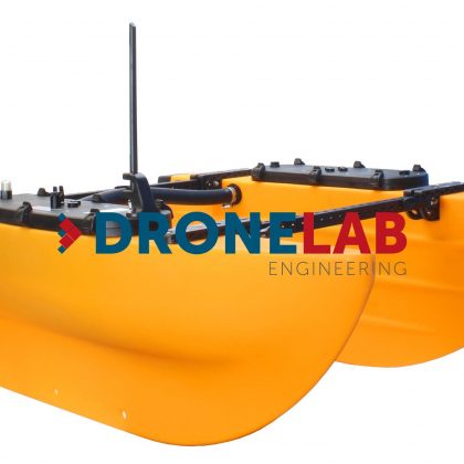
- ROV-Based Inspection & Documentation: Following target identification by the USV, our ROVs are deployed for close-up visual inspection. Equipped with high-definition cameras, powerful lighting, and potentially laser scanners or manipulators for minor tasks, the ROV captures detailed imagery and data, allowing for precise documentation and assessment of site condition without disturbing fragile remains.
Why You Need Advanced Underwater Archaeological Surveys:
Protecting and understanding underwater cultural heritage is a significant responsibility, often hampered by the challenges of deep water, low visibility, and the risks associated with diving operations. Traditional archaeological methods can be slow, expensive, and potentially intrusive. Our ROV and USV survey solutions offer a modern alternative:
- Non-Invasive Exploration: Locate and assess sensitive archaeological sites with minimal to no physical disturbance, preserving their integrity.
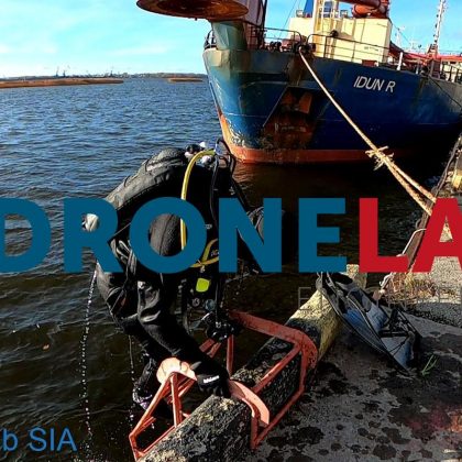
- Enhanced Safety: Eliminate risks to human divers, especially in deep, cold, or hazardous underwater environments.
- Comprehensive Site Mapping: Obtain detailed sonar maps and precise georeferenced data for accurate site characterization and monitoring over time.
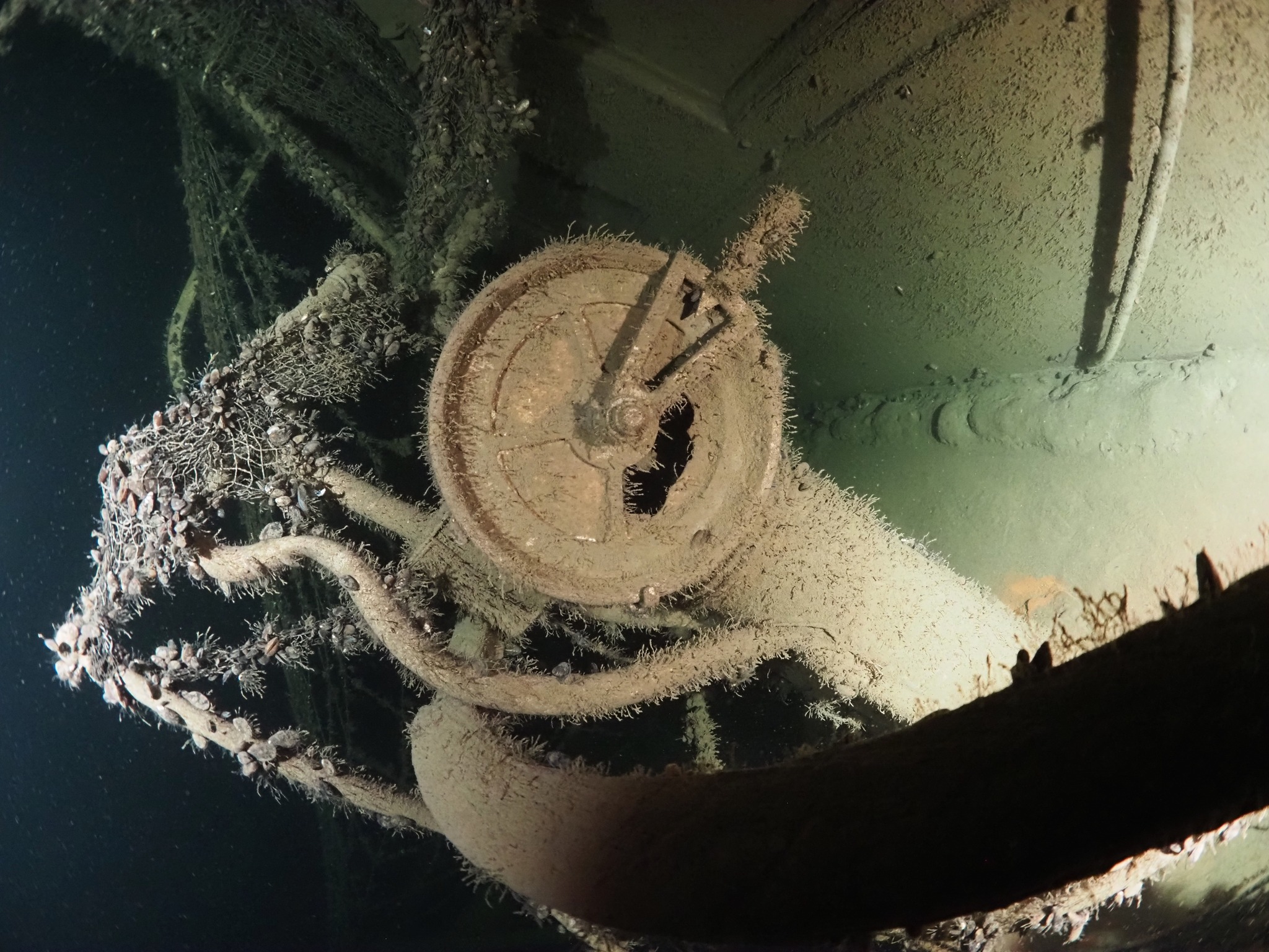
- High-Quality Visual Documentation: Capture clear, high-resolution video and still images for research, conservation planning, and public outreach.
- Cost-Effective Operations: Conduct preliminary assessments and targeted investigations more efficiently than large-scale traditional expeditions.
- Access to Challenging Locations: Survey sites in remote areas or depths beyond practical diver limits.
Preserve the Past, Inform the Future:
For government heritage agencies, museums, academic institutions, marine development planners, and environmental consultants, our Underwater Archaeological Survey service is essential. Ensure compliance with cultural heritage regulations, conduct thorough environmental impact assessments, advance scientific research, and safeguard invaluable submerged historical sites for future generations. Harness cutting-edge technology to unlock the secrets held beneath the waves responsibly and effectively.