
Environmental Survey Services
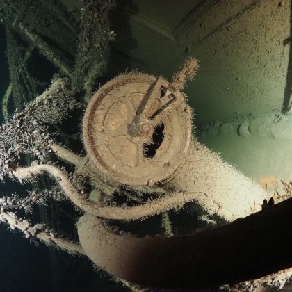
Gain unparalleled insights into environmental conditions and processes with our cutting-edge drone-based Environmental Survey solutions. By deploying unmanned aerial systems equipped with advanced sensors—ranging from high-resolution visual cameras to multispectral, thermal, LiDAR, and air quality detectors—we capture comprehensive, georeferenced data across diverse landscapes. This enables detailed analysis of vegetation health, land use patterns, water body conditions, wildlife habitats, terrain stability, potential pollution events, and much more.
Why Choose Drone Technology for Environmental Surveys?
Traditional environmental monitoring often involves extensive fieldwork, which can be costly, time-consuming, limited in scope, and sometimes hazardous. Drone technology provides a superior alternative, offering:
- Broad-Scale Coverage: Efficiently survey large or difficult-to-access areas, obtaining consistent data rapidly.
- Enhanced Safety: Assess potentially hazardous sites, unstable terrains, or disaster-affected zones remotely, eliminating risks to personnel.
- Rich Data Acquisition: Utilize multiple sensors simultaneously to collect varied data types (visual, thermal, spectral) for a multi-layered understanding.
- Effective Monitoring: Easily repeat surveys at regular intervals to track environmental changes, monitor restoration efforts, or assess impacts over time.
- Low Environmental Impact: Conduct surveys with minimal disturbance to sensitive ecosystems, wildlife, and local communities.
- Cost-Efficiency: Reduce logistical complexities, field time, and overall project costs compared to ground-based methods.
Essential for Informed Environmental Management & Compliance:
- For Businesses & Industrial Operators: Meeting environmental regulations, conducting thorough Environmental Impact Assessments (EIAs), managing land resources responsibly, or monitoring operational footprints? Our drone surveys provide crucial data for compliance verification (e.g., emissions, runoff), site monitoring (construction, reclamation, erosion control), precision agriculture (crop stress, water management), infrastructure integrity checks (pipeline corridors), and bolstering corporate sustainability reporting. Make informed, data-driven decisions to optimize operations and minimize environmental impact.
- For Government Agencies, Conservation Organizations & Research Institutions: Tasked with managing natural resources, protecting biodiversity, monitoring pollution, or responding to environmental incidents? Drone surveys offer powerful capabilities for detailed habitat mapping, biodiversity monitoring, tracking pollution sources and dispersion, assessing damage from natural disasters (fires, floods), analyzing land cover change, conducting non-invasive wildlife surveys, managing forests, and gathering critical data for climate change studies. Enhance your monitoring programs, improve conservation strategies, and support policy development with accurate, timely, and spatially explicit environmental data.