Unlock the Depths: Comprehensive Drone Bathymetry Solutions
Accurately mapping underwater environments has long presented significant logistical and technological challenges. Traditional methods often involve cumbersome equipment, dedicated vessels, and time-consuming manual data collection, particularly in complex or inaccessible locations. However, the advent of drone bathymetry has revolutionized this field, offering a swift, efficient, and cost-effective alternative for a wide range of applications.
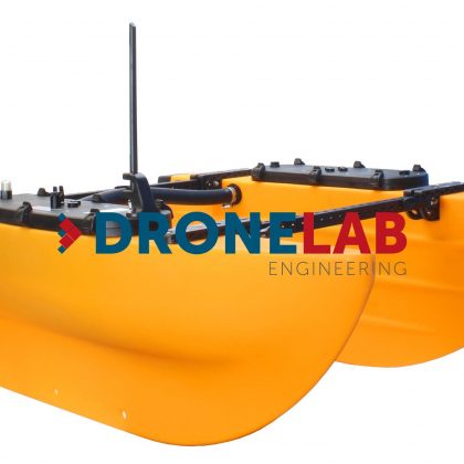
At Dronelab.lv, we provide cutting-edge drone bathymetry solutions, leveraging the power of unmanned aerial vehicles (UAVs) integrated with advanced sonar technology. Our comprehensive catalog features state-of-the-art echo sounders and seamlessly integrated software from industry leaders, empowering you to acquire precise underwater depth data with unprecedented ease and accuracy.
Why Choose Drone Bathymetry?
Drone bathymetry offers a multitude of compelling advantages over conventional methods:
- Accessibility: Reach challenging environments such as shallow waters, confined areas, and locations without direct water access, eliminating the need for boat launches or personnel entry.
- Efficiency: Rapid deployment and data acquisition significantly reduce survey time and operational costs. Cover larger areas quickly and efficiently compared to traditional vessel-based surveys.
- Cost-Effectiveness: Lower operational expenses by minimizing the need for large crews, specialized vessels, and extensive on-site time.
- Safety: Reduce risks to personnel by eliminating the need for surveyors to be physically present in potentially hazardous water environments.
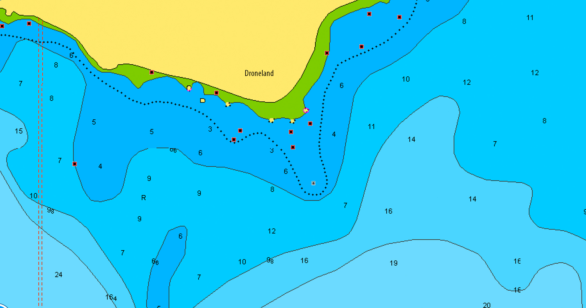
- High Resolution Data: Obtain detailed bathymetric data with high spatial resolution, providing a comprehensive understanding of underwater terrain.
- Repeatability: Easily conduct repeated surveys over time to monitor changes in underwater topography, sediment accumulation, or the impact of environmental events.
- Maneuverability: Drones offer excellent maneuverability, allowing for precise data collection along complex river channels, shorelines, and within intricate water bodies.
The Power of Integrated Technology: Drone Bathymetry
Our drone bathymetry solutions are built around the robust platform, offering a comprehensive suite of hydrography tools designed for effective bathymetric mapping surveys. We provide a range of echo sounder options, including single and dual-frequency models, seamlessly integrated with software for efficient mission planning, data acquisition, and processing. Integration of additional sensors for measuring parameters such as salinity, turbidity, flow speed, and sound velocity, providing a holistic understanding of the aquatic environment.
Featured Echo Sounder Options:
-
Drone Echo sounder (Single Frequency):
- Operating at 450KHz, ideal for general depth mapping and identifying submerged structures.
- Depth range: 0.3m to 100m (practical use >30cm).
- Integrated temperature sensor.
- Direct connectivity for seamless data integration.
- Equipped with a tilt sensor for enhanced data quality control.
- Lightweight design at approximately 1.3Kg.
- Data output in standard NMEA (O803) and full echo data formats.
- Data processing outputs include CSV for X,Y,Z coordinates and SEG-Y format compatibility with HydroMagic software.
-
Drone Echo sounder (Dual Frequency):
- Utilizes both 50KHz and 200KHz frequencies, enabling the detection of soft sediment layer thickness and penetration through submerged vegetation.
- Depth range: 1.3m to 200m.
- Integrated temperature sensor.
- Direct connectivity.
- Includes a tilt sensor for quality control.
- Kit weight approximately 2.3Kg.
- Offers standard NMEA (O803) and full echo data output modes.
- Provides data in CSV (X,Y,Z) and SEG-Y formats for HydroMagic software compatibility.
Why Your Organization Needs Drone Bathymetry:
Drone bathymetry offers critical insights and efficiencies for a wide array of organizations:
- Companies: Optimize dredging operations by accurately quantifying sediment volume. Conduct detailed inspections of underwater infrastructure such as pipelines, bridge supports, and dams. Monitor coastal erosion and assess the impact of construction projects on aquatic environments. Locate submerged assets and debris for recovery or hazard mitigation.
- Governments: Perform comprehensive surveys of navigable waterways to ensure safety and optimize channel maintenance. Monitor the health of freshwater resources and track sedimentation in reservoirs. Conduct environmental impact assessments for infrastructure development and coastal management initiatives. Support search and rescue operations by rapidly mapping underwater terrain.
- Institutions: Facilitate advanced research in limnology, oceanography, and geology by providing high-resolution bathymetric data. Conduct detailed habitat mapping for ecological studies and conservation efforts. Monitor the effects of climate change on aquatic environments. Support educational programs with hands-on data acquisition and analysis opportunities.
Unlock the unseen world beneath the water’s surface. Contact us today to learn how our drone bathymetry solutions can transform your operations and provide you with the critical data you need.